High-pressure dominance brings frost and snow during winter holidays
The beginning of Poland’s winter holiday period will be strongly influenced by a persistent high-pressure system located over western Russia. According to Mariusz Jasłowski, meteorologist at Meteo24.com.pl, this setup favors prolonged stability but also harsh winter conditions, particularly relevant for the Baltic Sea region and coastal operations.
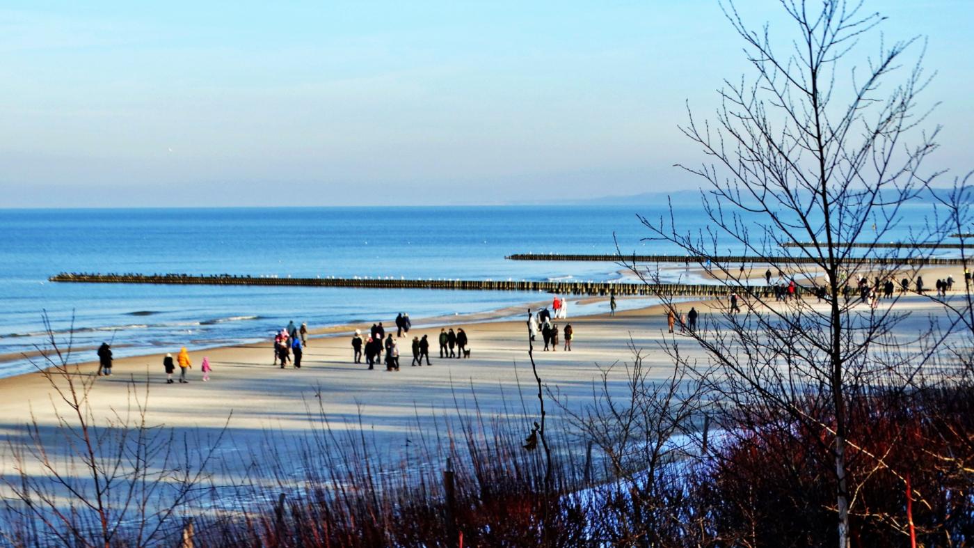
weather pomerania west pomerania tricity news19 january 2026 | 09:25 | Source: Gazeta Morska | Prepared by: Kamil Kusier | Print
fot. Mariusz Jasłowski
- The high-pressure system effectively blocks Atlantic air masses, resulting in calm, sunny weather but also significant temperature drops, especially during nighttime and early morning hours, Mariusz Jasłowski tells Daily Mare.
Baltic Sea conditions: freezing fog and severe frost
Along the Polish coast and over the Baltic Sea, a humid and thermally diverse air mass is expected to persist, increasing the risk of freezing fog and rime ice formation.
- These phenomena pose a serious hazard for port infrastructure, vessels, and maritime transport, despite their visually striking appearance, the Meteo24 expert warns.
Temperature forecasts based on GFS and ECMWF models indicate:
- coastal and offshore areas: from around 0°C down to -15°C,
- inland regions, locally: -19°C to -25°C, with isolated values possibly dropping below -27°C.
Potential weather shift late January
While high pressure will dominate most of the period, late January may bring increased instability.
- Numerical models suggest a higher probability of convective precipitation events toward the end of January and early February, particularly in northern and northeastern Poland, says Mariusz Jasłowski.
For the Baltic region, this could include:
- heavy snowfall,
- snow pellets and small hail,
- and even thundersnow, accompanied by gusty winds.
Forecast uncertainty remains high
Despite clear short-term signals, long-range forecasts remain uncertain.
- We are observing a delicate balance between suppressed Atlantic flow and very cold air masses from eastern and northeastern Europe. Any shift in this pattern may significantly alter weather conditions over the Baltic Sea, concludes Mariusz Jasłowski of Meteo24.com.pl.
Buy us a coffee, and we’ll invest in great maritime journalism! Support Gazeta Morska and help us sail forward – click here!
Kamil Kusier
redaktor naczelny
comments
Add the first comment
see also
Mixed precipitation and coastal surge expected on Pomerania. Weekend brings brief weather improvement
February 2026 brings volatile winter weather to Poland and the Baltic Sea
Aurora borealis over the Baltic Sea: a space weather signal for the maritime industry
Snowstorms, storm surge risk and incoming thaw over the Baltic
Baltic Sea under prolonged storm regime as severe winter weather persists until New Year’s Eve
Storm surge, severe weather and winter instability affect the southern Baltic
A crisp and frosty Christmas morning in Ustka
Christmas period under strong high pressure: freezing fog and storm conditions over the Baltic Sea
Waterspouts over the Baltic. Spectacle or growing hazard for maritime operators?
British Forecasts: Rare red warning issued for incoming Storm Eowyn
ADVERTISEMENT
ADVERTISEMENT