Snowstorms, storm surge risk and incoming thaw over the Baltic
The Baltic Sea region and the Polish coast are entering a period of highly dynamic and potentially hazardous weather, with direct implications for shipping, ports and coastal infrastructure.
weather pomerania west pomerania news09 january 2026 | 19:24 | Source: Gazeta Morska | Prepared by: Kamil Kusier | Print
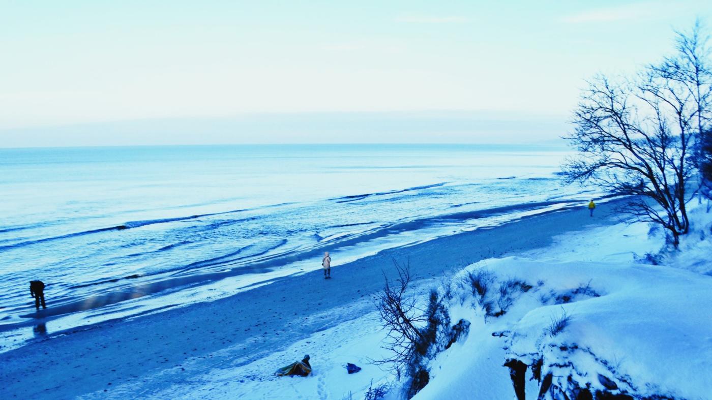
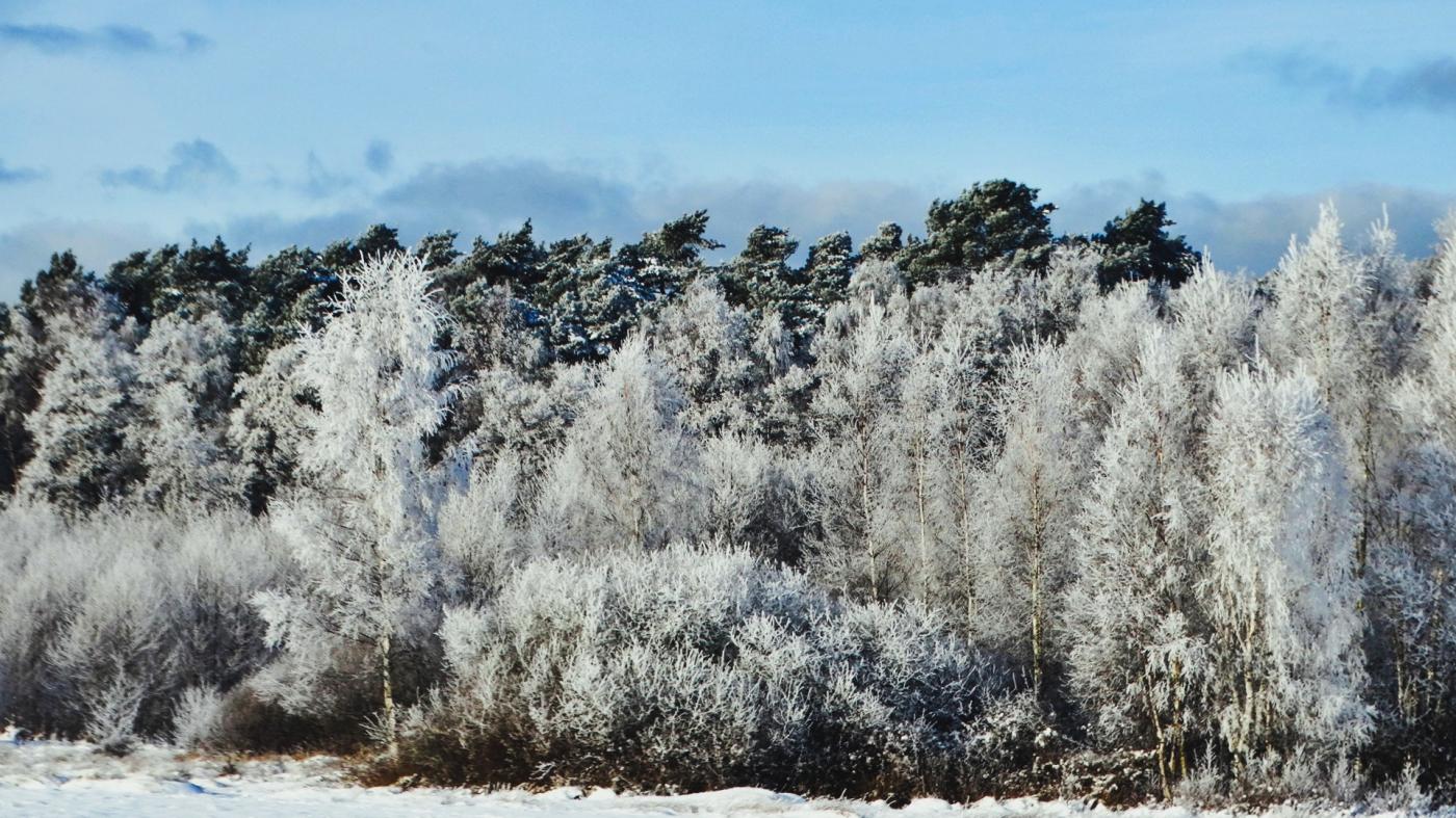
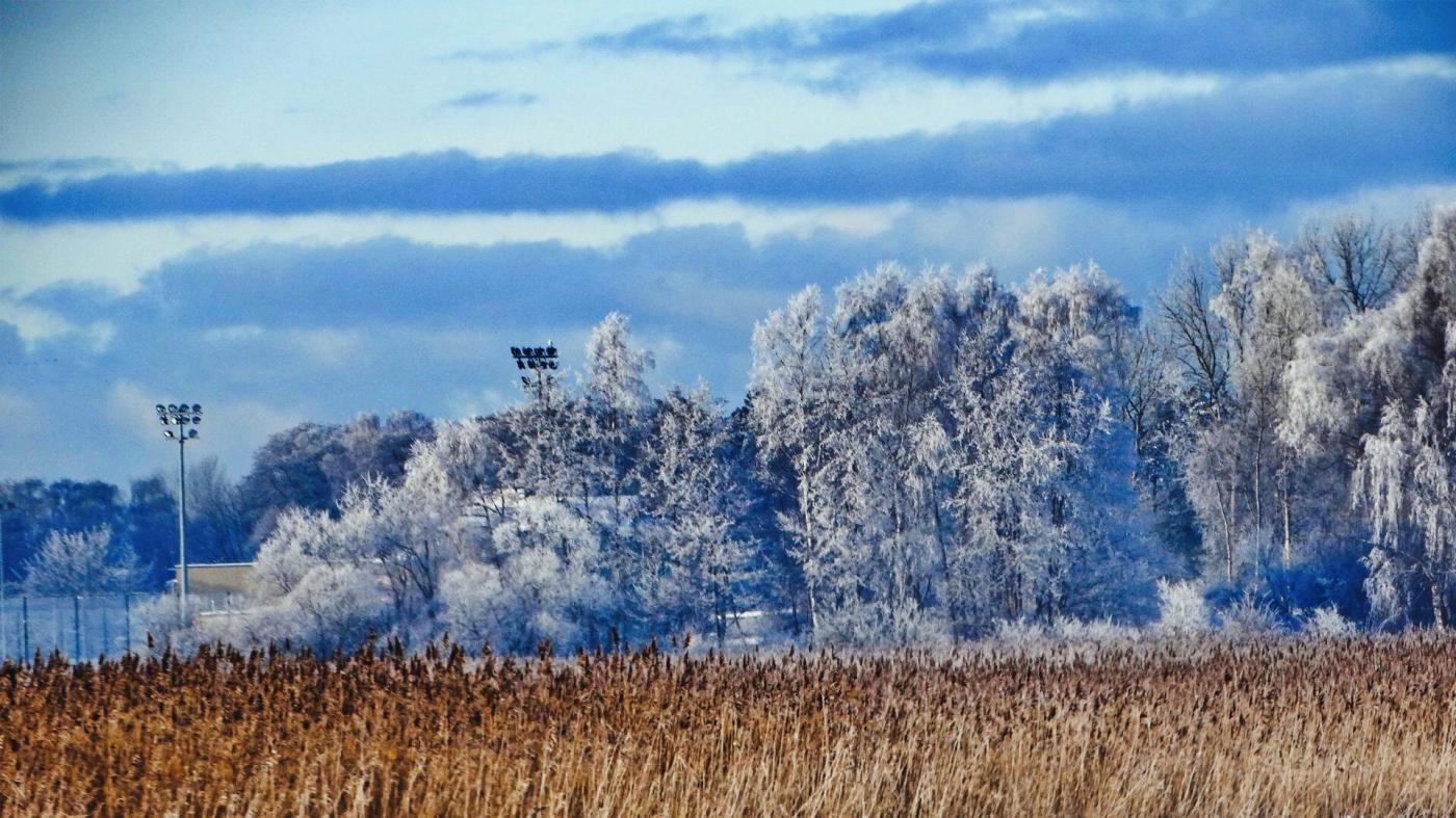
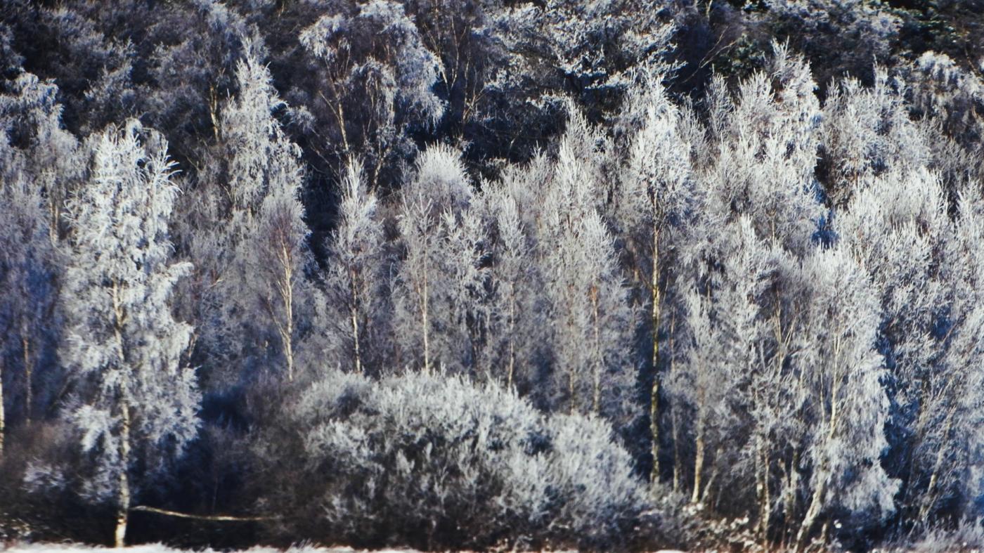
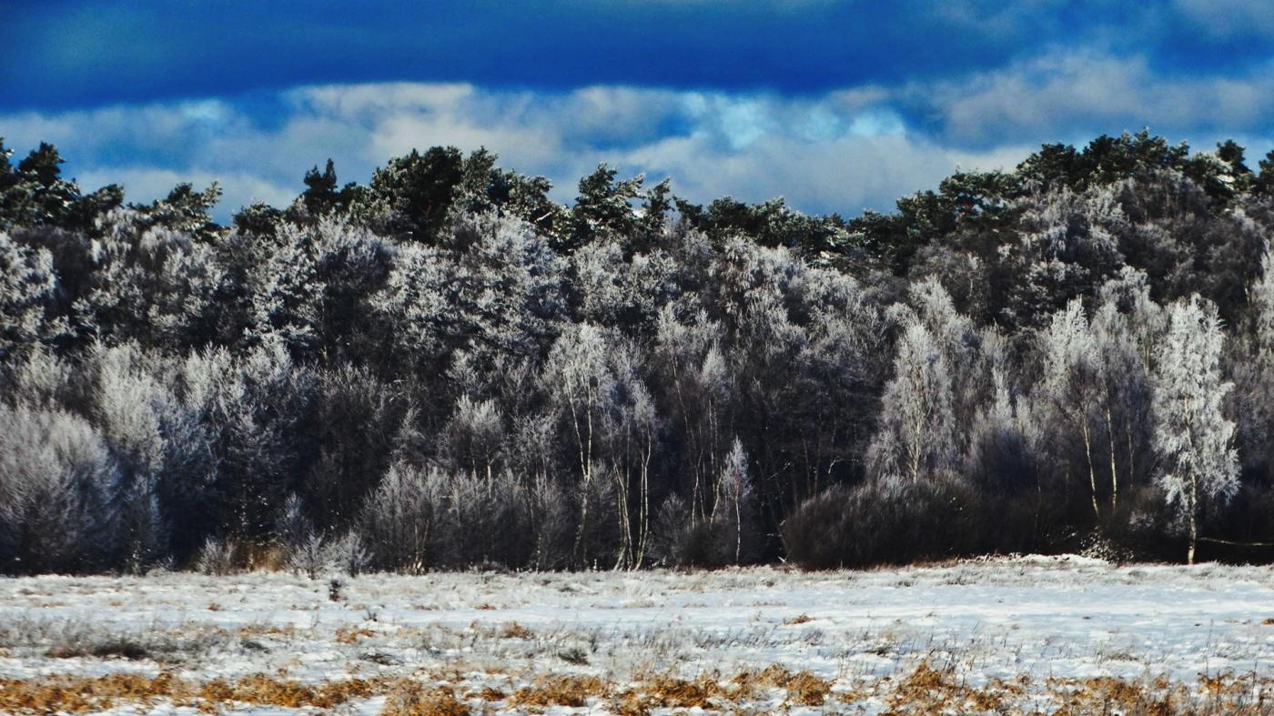
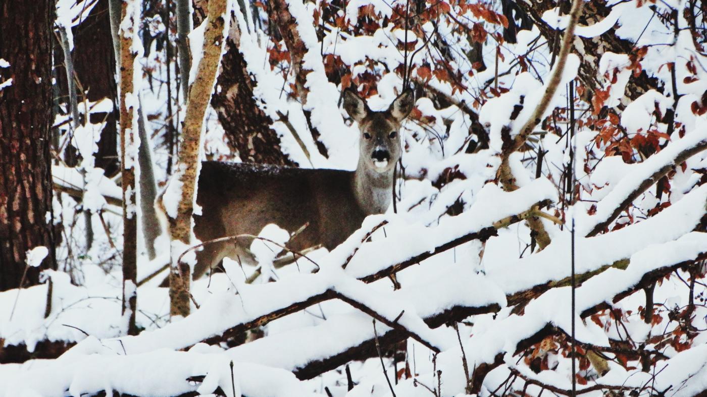
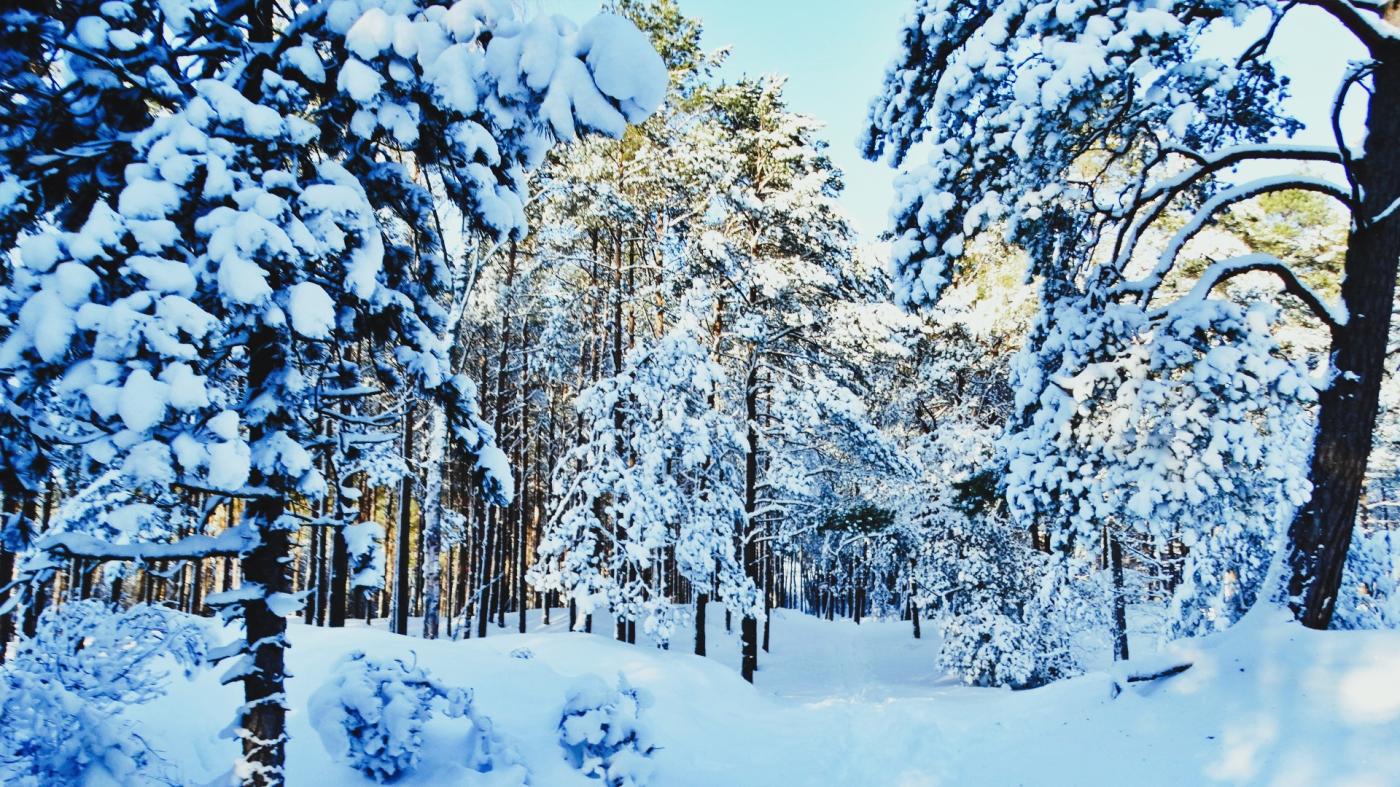
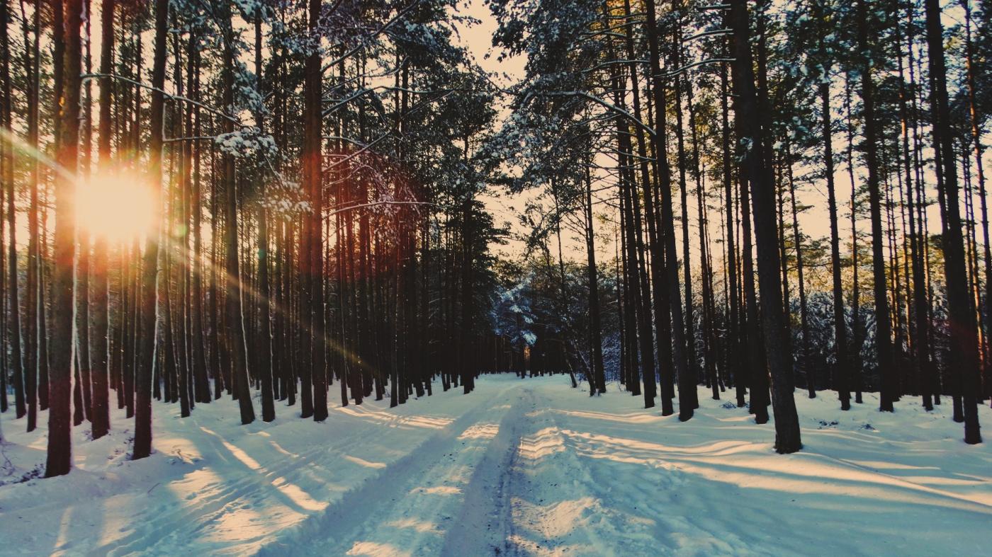
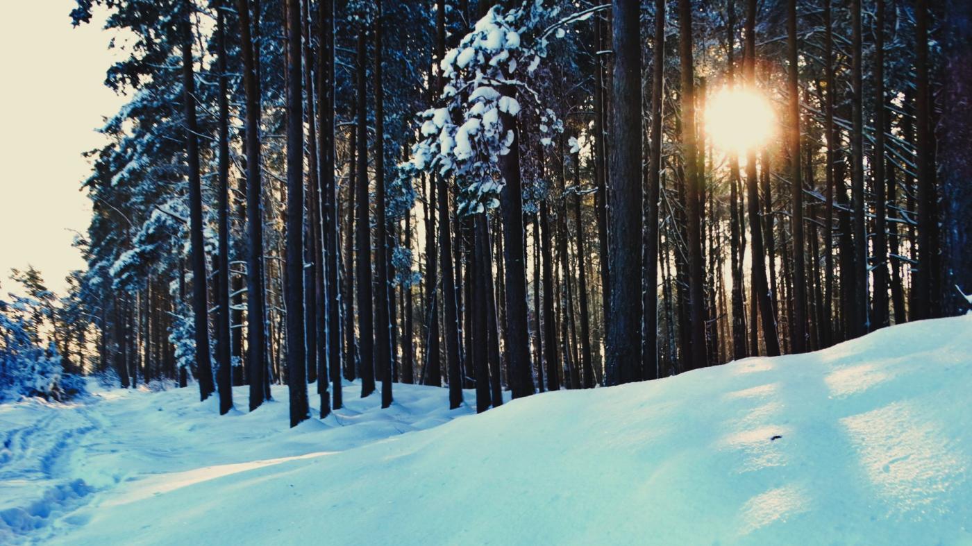
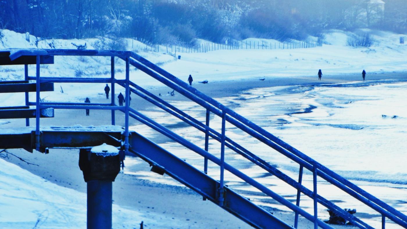
fot. Mariusz Jasłowski
Snowy weekend with gale-force gusts and storm surge risk
Throughout the weekend, the area will remain under the influence of an active low-pressure system and associated frontal zones. These will bring widespread snowstorms, locally severe snowfall and snow squalls, particularly over northern Poland and the Baltic Sea.
In the coastal zone and offshore, north and north-easterly winds will strengthen significantly, with gusts reaching 60–80 km/h, and possibly higher over open waters. This wind pattern is expected to generate a storm surge (backflow) at river mouths and in port basins, especially along the Gulf of Gdańsk and the Vistula Lagoon, temporarily raising water levels and complicating cargo handling, berthing and pilotage operations.
Periods of freezing fog and reduced visibility are also forecast, especially overnight and in the early morning hours, creating additional navigation hazards for both seagoing vessels and port traffic.
In some areas, particularly over the Baltic Sea and the northern coast, thundersnow events with snow pellets or graupel are possible, producing sudden white-out conditions and abrupt wind gusts.
Air temperatures during the weekend will remain close to or below freezing, generally between –10°C and +2°C, increasing the risk of ice accretion on decks, quays, gangways and port equipment, as well as drifting snow on exposed infrastructure.
Transition to thaw early next week
From the beginning of next week, a major shift in the atmospheric circulation is expected. Milder and much more humid Atlantic air will spread into the region from the west and southwest, initiating a gradual thaw. Daytime temperatures are forecast to rise to +5°C and locally up to +10°C, including in coastal areas.
This warming, however, will be accompanied by new frontal systems, bringing freezing rain, sleet and wet snow, together with periods of moderate to strong wind. These conditions are particularly dangerous for port and transport operations, as they may lead to rapid icing of surfaces after precipitation, especially during night-time or in sheltered locations.
Operational outlook
With active low-pressure systems continuing to track across Central Europe, weather conditions will remain highly variable and difficult to forecast beyond a few days. Rapid changes in wind strength, snowfall intensity and coastal water levels are likely.
Port authorities, vessel operators and coastal services are advised to maintain heightened operational readiness, closely monitor updated meteorological and hydrological bulletins, and be prepared for temporary disruptions caused by snow, storm surge and icing.
The coming days will be among the most meteorologically challenging of this winter for the Baltic maritime sector.
Buy us a coffee, and we’ll invest in great maritime journalism! Support Gazeta Morska and help us sail forward – click here!
Kamil Kusier
redaktor naczelny
gallery


comments
Add the first comment
see also
Low-pressure volatility over the Baltic Sea. Dynamic start of the week followed by gradual stabilization
Weather on the Pomeranian coast. A week of winds and nighttime frosts
Mixed precipitation and coastal surge expected on Pomerania. Weekend brings brief weather improvement
February 2026 brings volatile winter weather to Poland and the Baltic Sea
Aurora borealis over the Baltic Sea: a space weather signal for the maritime industry
High-pressure dominance brings frost and snow during winter holidays
Baltic Sea under prolonged storm regime as severe winter weather persists until New Year’s Eve
Storm surge, severe weather and winter instability affect the southern Baltic
A crisp and frosty Christmas morning in Ustka
Christmas period under strong high pressure: freezing fog and storm conditions over the Baltic Sea
ADVERTISEMENT
ADVERTISEMENT