Christmas period under strong high pressure: freezing fog and storm conditions over the Baltic Sea
The Christmas period over northern Poland and the southern Baltic Sea will be dominated by a strong high-pressure system, centred over north-eastern Europe. While the synoptic situation will ensure generally dry weather, it will also generate challenging operational conditions, particularly for maritime transport, coastal navigation and port activities.
weather pomerania west pomerania news22 december 2025 | 19:18 | Source: Gazeta Morska / meteo24.com.pl | Prepared by: Kamil Kusier | Print
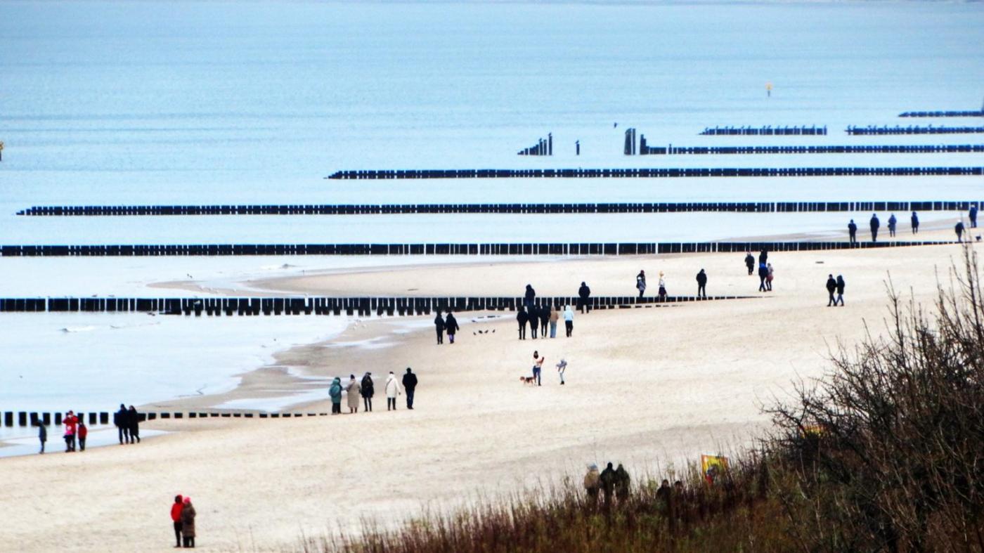
fot. Mariusz Jasłowski
Cold and moisture-laden air masses advected from the north and north-east will prevail over the region. Combined with nocturnal radiative cooling and very high surface pressure, this pattern will favour the frequent formation of freezing fog and low stratus, especially during night-time, early morning and evening hours. Locally, visibility may drop below several hundred metres, with a high risk of icing on exposed surfaces and port infrastructure.
Christmas Eve and night (Wednesday–Thursday)
On Christmas Eve and during the following night, air temperatures are expected to range between –5°C and –3°C. Precipitation is not forecast, with mostly light to moderate cloud cover. Winds inland will remain generally light to moderate, while over the Baltic Sea and along the coast winds will strengthen, becoming moderate to strong with gusts of 60–80 km/h.
A storm event is expected over the Baltic Sea, potentially affecting near-shore navigation and offshore operations. Atmospheric pressure will reach exceptionally high values, peaking at around 1041 hPa.
Christmas Day
On Thursday, the high-pressure influence will persist. Freezing fog and haze are again likely, particularly during morning and evening hours. Temperatures will slightly increase, ranging from –2°C to +1°C.
Storm conditions will continue over the Baltic Sea, with gusts locally reaching up to 100 km/h, especially in the coastal zone and open waters. These conditions may cause significant disruptions to shipping schedules, fishing activities and port operations. Pressure will remain high, though a gradual decrease will begin later in the day.
Second day of Christmas
By Friday, a marked warming trend is expected, with temperatures rising to +3°C to +7°C. Cloud cover will be moderate to locally extensive, with occasional clear spells and still no precipitation.
Winds will shift to variable directions, predominantly from the west and north-west, remaining moderate and at times fairly strong, particularly offshore. Gusts of up to 60 km/h are possible, with stronger winds over open sea areas. Atmospheric pressure will decrease further to around 1027 hPa, showing noticeable fluctuations.
Buy us a coffee, and we’ll invest in great maritime journalism! Support Gazeta Morska and help us sail forward – click here!
Kamil Kusier
redaktor naczelny
comments
Add the first comment
see also
Mixed precipitation and coastal surge expected on Pomerania. Weekend brings brief weather improvement
February 2026 brings volatile winter weather to Poland and the Baltic Sea
Aurora borealis over the Baltic Sea: a space weather signal for the maritime industry
High-pressure dominance brings frost and snow during winter holidays
Snowstorms, storm surge risk and incoming thaw over the Baltic
Baltic Sea under prolonged storm regime as severe winter weather persists until New Year’s Eve
Storm surge, severe weather and winter instability affect the southern Baltic
A crisp and frosty Christmas morning in Ustka
Waterspouts over the Baltic. Spectacle or growing hazard for maritime operators?
British Forecasts: Rare red warning issued for incoming Storm Eowyn
ADVERTISEMENT
ADVERTISEMENT