









Storm surge, severe weather and winter instability affect the southern Baltic
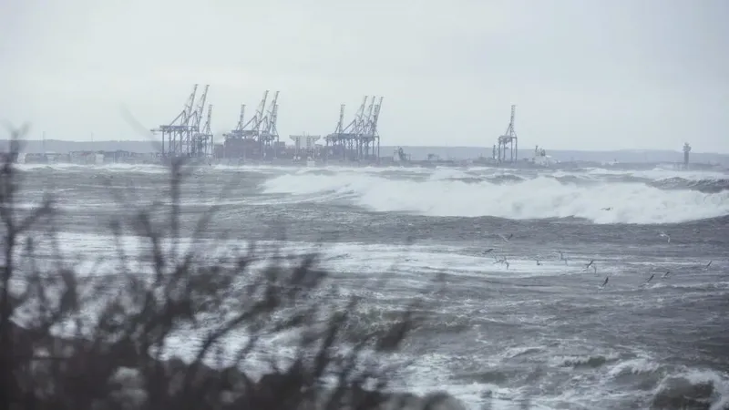
Late December brings highly challenging hydro-meteorological conditions across the Southern Baltic Sea and Poland’s coastal zone. According to warnings issued by the Hydrological Forecast Office in Gdynia and the Marine Meteorological Forecast Office in Szczecin, the region is currently facing a combination of storm-force winds, elevated sea levels and highly dynamic winter weather.
In brief
The Hydrological Forecast Office in Gdynia has issued a second-degree hydrological warning of water level rises exceeding warning levels on the coast and in Poland's internal sea waters. A second-degree meteorological storm warning is in force at the same time for the eastern part of the coastal zone, with winds of 6 to 7 on the Beaufort scale and gusts up to 8. The backwater effect threatens ports, marinas and hydrotechnical infrastructure, while convection from over the Baltic brings rain, sleet and snow. Numerical models point to possible frost episodes in early January.
A level-two hydrological warning has been issued for storm surges exceeding warning thresholds along the Polish coast and internal maritime waters, including the Southern and South-Eastern Baltic. Strong northerly winds are expected to force seawater toward the shoreline, leading to elevated water levels and, locally, the possibility of reaching alarm stages. Backwater effects pose a significant risk to ports, marinas, coastal infrastructure and low-lying river mouth areas.
At the same time, a level-two meteorological warning for a storm is in effect for the eastern coastal zone. Westerly winds veering north-west to north are forecast to reach 6–7 Beaufort, with gusts up to 8 Beaufort. Such conditions significantly limit safe navigation, port operations and offshore activities.
The situation is further intensified by an unstable synoptic pattern affecting much of the country. Poland remains under the influence of active low-pressure systems and associated frontal zones. Strong convection developing over the Baltic Sea is transporting various forms of precipitation inland, ranging from rain and sleet to heavy snowfall. Locally, well-developed convective cells may produce snowstorms accompanied by graupel or hail.
Moderate to strong winds are expected not only offshore but also across large parts of the country. Combined with low and highly variable near-surface temperatures, this increases the risk of icing on roads, pavements and port infrastructure. Freezing fog may also develop in some areas, causing rime and black ice, which is particularly hazardous for transport and technical operations.
Looking ahead, long-range model guidance suggests an increased risk of frost episodes in early January. Nevertheless, the current winter season is expected to remain highly variable, with periods of average temperatures rapidly alternating with sudden drops below freezing. Meteorologists emphasize that monthly forecasts carry considerable uncertainty and are subject to frequent adjustments.
For the maritime, port and coastal safety sectors, the coming days will require heightened vigilance, continuous monitoring of forecasts and a high level of operational readiness.
Source: Gazeta Morska · Compiled by: Kamil Kusier
Related articles
 Safety and rescue Polish SAR’s new rescue vessel Mistral launched at Kewatec in Finland
 Safety and rescue Icelandic Coast Guard and police delegation visits Polish Border Guard’s Maritime Division
 Safety and rescue Polish Navy helicopter evacuates man from Baltic platform 100 km off Władysławowo
 Navy and defence SNMG2 joins Allied warships in PASSEX as Italy's Mare Aperto 2026 gets under way
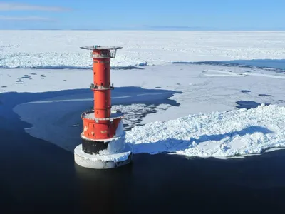 Safety and rescue From lightships to solar power: 160 years of the Grundkallen light station
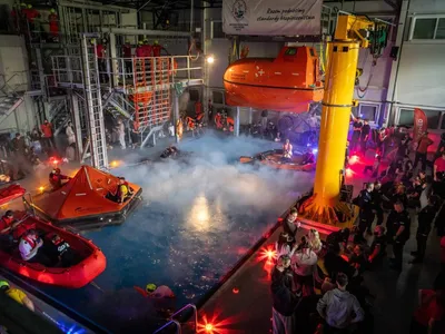 Education 254 people, manikins and life rafts: Maritime University of Szczecin joins national CPR record attempt
Comments (0)
The discussion is moderated by the editors: a comment appears after review. Your e-mail address is not published.
Nobody has commented on this article yet.