Mount Fuji as a natural lighthouse for seafarers. Its role in maritime navigation and coastal approaches to Japan
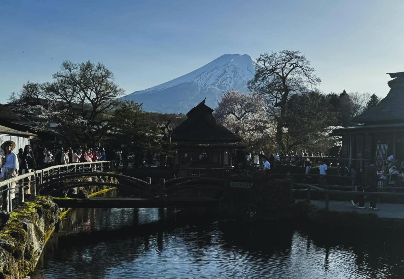
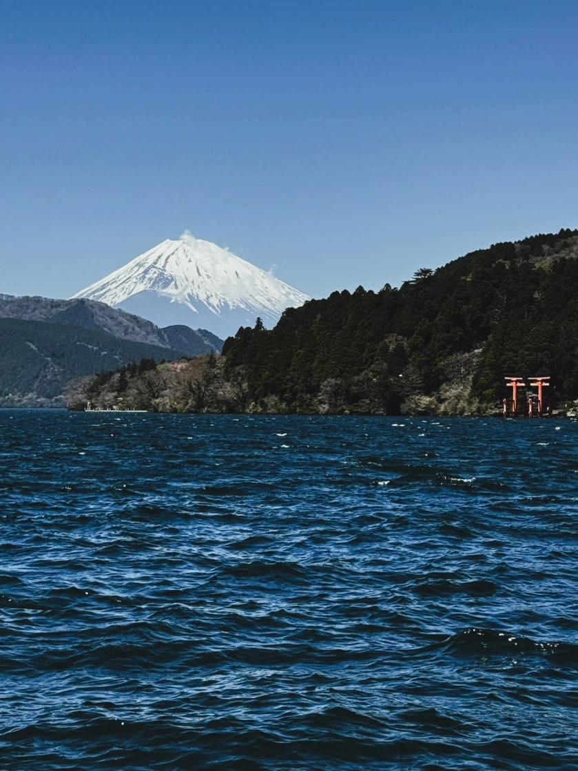
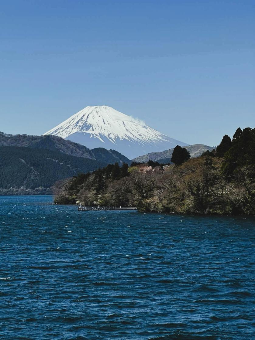
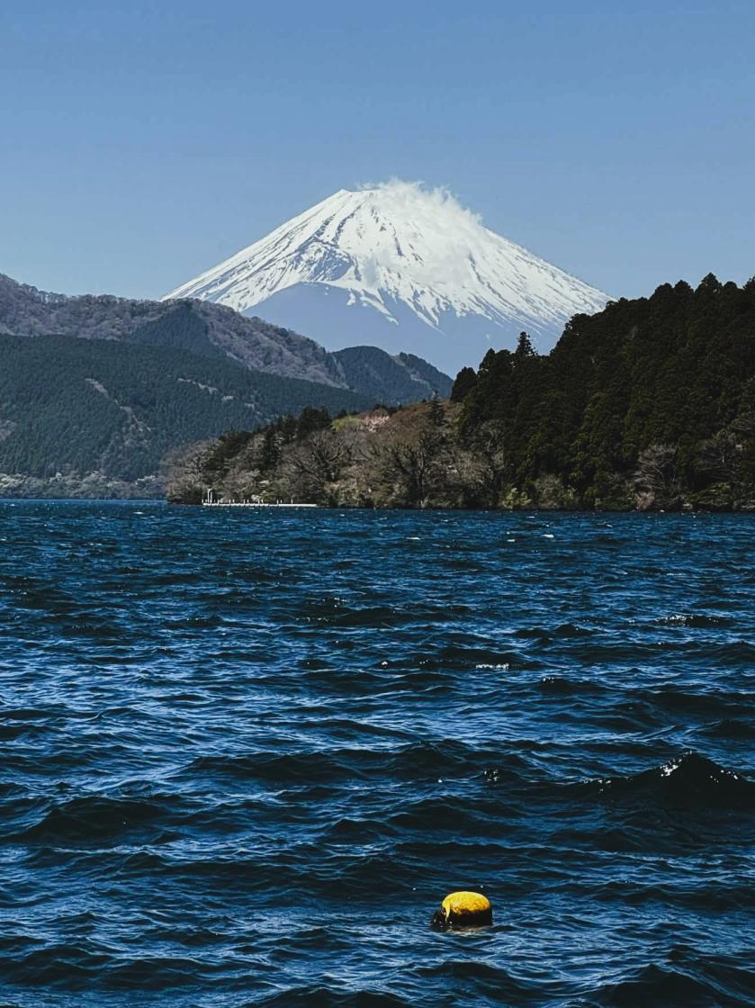
At first, it appears as a faint silhouette on the horizon - easily mistaken for a cloud formation. As the vessel closes the distance, the outline sharpens into a near-perfect cone, unmistakable to any experienced officer on watch. This is Mount Fuji, Japan’s highest mountain and one of the most distinctive natural landmarks in the Asia-Pacific region.
marine lifestyle worldwide marine tourism and recreation news11 april 2026 | 12:45 | Source: Gazeta Morska | Prepared by: Kamil Kusier | Print
fot. Sylwia Wiśniewska
From a maritime perspective, Mount Fuji has long functioned as a “natural lighthouse” - not emitting light, yet highly effective as a fixed visual reference. Long before satellite navigation, its profile provided confirmation of landfall and marked the transition from open-ocean navigation to coastal operations.
Operational relevance in maritime navigation
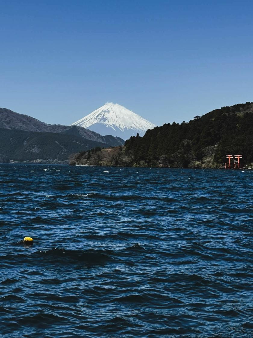
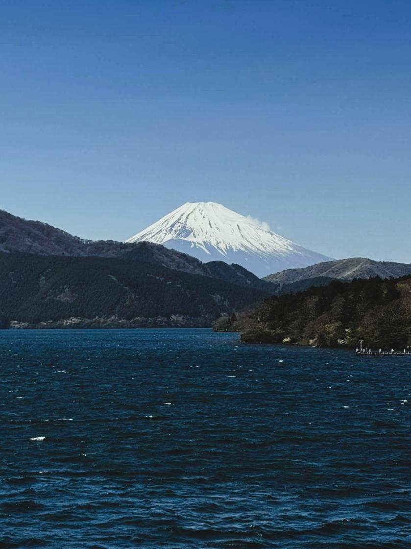
Despite being located inland, Mount Fuji rises to 3,776 meters and stands in relative isolation, making it visible from considerable distances under favorable meteorological conditions - even from the Pacific Ocean.
For vessels approaching major ports such as Yokohama and the broader Shizuoka coastline, visual acquisition of Mount Fuji historically supported:
- positional verification during landfall
- confirmation of correct approach sectors
- enhanced situational awareness in pre-radar navigation
- reduced navigational uncertainty at the final stage of long-haul voyages
In traditional seamanship, such landmarks were classified as fixed references - critical for visual fixing and coastal navigation.
Stability vs variability and a maritime perspective
The marine environment is inherently dynamic - weather systems, sea states, and visibility conditions can change rapidly. In contrast, Mount Fuji represents permanence and visual consistency.
For seafarers, this contrast carries both operational and psychological value. First sight of the mountain often signifies:
- transition from ocean passage to controlled coastal navigation
- proximity to safe anchorage and port infrastructure
- a sense of arrival after extended exposure to open-sea conditions
Recognized by UNESCO, Mount Fuji’s importance extends beyond geography into cultural and historical domains - frequently encountered first by crews approaching Japan from sea.
Historical role in maritime trade and port development
During the expansion of maritime trade across East Asia and the Pacific, Mount Fuji became a defining visual marker for international shipping routes.
It has overlooked:
- the development of Japan’s port infrastructure
- the evolution of regional and global trade networks
- the integration of Japan into international maritime logistics
For merchant fleets, Mount Fuji was often the first visual contact with Japan - effectively serving as a natural gateway to one of the world’s most important maritime economies.
Contemporary relevance in modern shipping
In today’s navigation environment - dominated by GPS, AIS, and ECDIS - Mount Fuji retains a complementary role in visual navigation.
In practice, it continues to:
- support visual position cross-checking
- enhance spatial awareness during coastal approach
- serve as a prominent geographic reference in the Tokyo Bay approach sector
Beyond its operational utility, it also holds intangible value. For many masters and deck officers, first visual contact with Mount Fuji remains a symbolic milestone - marking arrival in Japanese waters.
Why Mount Fuji still matters to the maritime industry
Modern shipping is data-driven and technology-dependent, yet seamanship still relies on human observation and interpretation. Mount Fuji exemplifies the intersection of these two worlds.
It highlights that:
- natural landmarks still complement electronic navigation
- visual cues remain relevant in decision-making processes
- maritime experience extends beyond instrumentation into perception and memory
In an increasingly automated industry, such reference points reinforce the human element of navigation.
Operational insights known to experienced mariners
Within the maritime community, several practical observations regarding Mount Fuji are widely recognized:
- visibility is highly dependent on atmospheric clarity, particularly humidity and haze over the Pacific Ocean
- its symmetrical profile makes it suitable for visual bearings under clear conditions
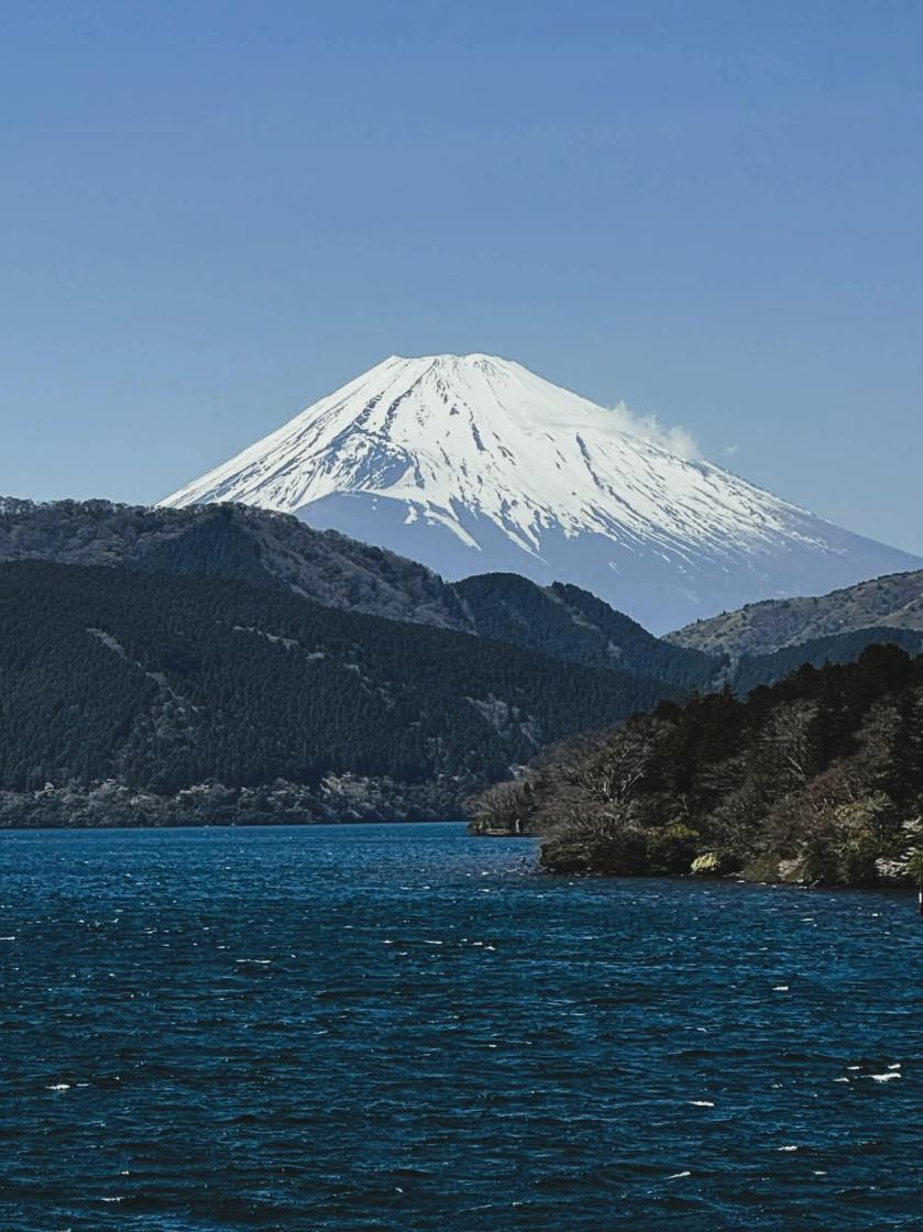
- snow cover in winter significantly enhances detectability from offshore positions
- historically, it was frequently recorded in ship logs as a primary landfall indicator
- its cultural prominence strengthens its role as a symbolic “first sight” of Japan from sea
For seafarers, Mount Fuji is not merely a geographic feature - it is part of operational practice, maritime history, and professional identity shaped at sea.
Buy us a coffee, and we’ll invest in great maritime journalism! Support Gazeta Morska and help us sail forward – click here!
Kamil Kusier
redaktor naczelny
gallery

comments
Add the first comment
see also
Aleksandra Kosiorek: The sea has always been a space of openness for us, and that will not change
Polish sailors open european season strong with two finals at Trofeo Princesa Sofía
The World after february 24: has it truly changed?
Easter across the boundless seas. A light of hope stronger than any storm
Over 1,200 sailors on Mallorca. Poles kick off the season at Trofeo Princesa Sofia
Winter sailing on the Baltic. Author event in Gdańsk explores real-life experiences
470 European championship concludes in Vilamoura. New format tested, successful weekend for Polish sailors
Commander Maciej Janiak award. Honouring those who build maritime Poland
Polish Sailing Awards 2025 presented in Gdańsk
Galeon Yachts and Meyer Shank Racing: merging luxury yachts with motorsport expertise
ADVERTISEMENT
ADVERTISEMENT