









Weather on the Pomeranian coast. A week of winds and nighttime frosts
The start of the week along the Polish coast looks dynamic. Scattered showers, localized thunderstorms, and gusty winds may challenge navigation and port operations. However, conditions are expected to stabilize later in the week, offering calmer seas and clearer skies for sailors and mariners.
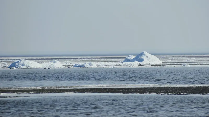
In brief
An atmospheric front will pass over the Polish coast on Monday with intermittent showers, local thunderstorms and wind gusts of 50 to 60 km/h. Temperatures during the week will range from +2°C to +11°C, and from Tuesday local night frosts are possible, hampering work on the quays. Meteorologist Mariusz Jasłowski advised caution when putting to sea and mooring, and recommended securing vessels in places sheltered from the wind. From Tuesday the weather will stabilise under the influence of a high-pressure system, and the end of the week will bring a calmer sea and weaker wind.
Monday: fronts bring showers and gusty winds
A shallow low-pressure trough will push a frontal system across the region on Monday, bringing scattered showers and localized thunderstorms. Winds will be variable, moderate to fairly strong, with gusts reaching 50–60 km/h, which could make maneuvering vessels, especially small sailboats, more challenging.
– On Monday we expect localized storms and gusty winds, says Mariusz Jasłowski, meteorologist for Gazeta Morska. - For sailors and mariners, this means extra caution when leaving port and while mooring.
Tuesday–Wednesday: nighttime frosts call for caution
Temperatures throughout the week will range from +2°C to +11°C. Overnight, especially from Tuesday, localized frosts are possible, which may impact port equipment and operations.
– Frosts can affect equipment and mooring safety, so vessels and devices should be secured in sheltered areas, emphasizes Jasłowski.
Thursday–Friday: high pressure brings hope for calm seas
By midweek, a high-pressure system will begin to stabilize the weather. Intermittent clear skies and moderate cloud cover will favor calmer seas. Winds will ease, mostly remaining light to moderate, though some areas may still experience strong gusts.
– By the end of the week, calmer seas and lighter winds are expected, adds Jasłowski. - Still, it’s important to monitor conditions, especially at night when frosts may occur.
Practical advice for sailors and mariners
The start of the week will be variable and require vigilance, while the latter part promises better conditions for sailing and port work. Mariners and sailors should plan activities considering gusty winds and possible nighttime frosts.
Source: Gazeta Morska · Compiled by: Kamil Kusier
Related articles
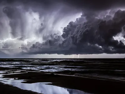 Safety and rescue Cauliflowers in the sky and a shelf cloud on the leading edge. Why the Baltic breeds storms
 Safety and rescue Storm returns to the Baltic. Peak on Wednesday, gusts of up to 12 on the Beaufort scale
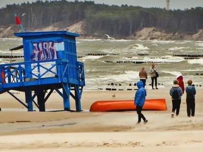 Safety and rescue Hot summer, cold Baltic: July on Poland's coast and in the north
 Safety and rescue A Baltic July: warmth near the seasonal norm, fickle water, and squalls the real worry for sailors
 Maritime lifestyle and tourism A double rainbow over Ustka: the Baltic stages its theatre of light
 Maritime lifestyle and tourism When the storm moves east. Why the most beautiful sky at sea arrives just after a squall
Comments (0)
The discussion is moderated by the editors: a comment appears after review. Your e-mail address is not published.
Nobody has commented on this article yet.